Drone survey
What is a Drone Survey?
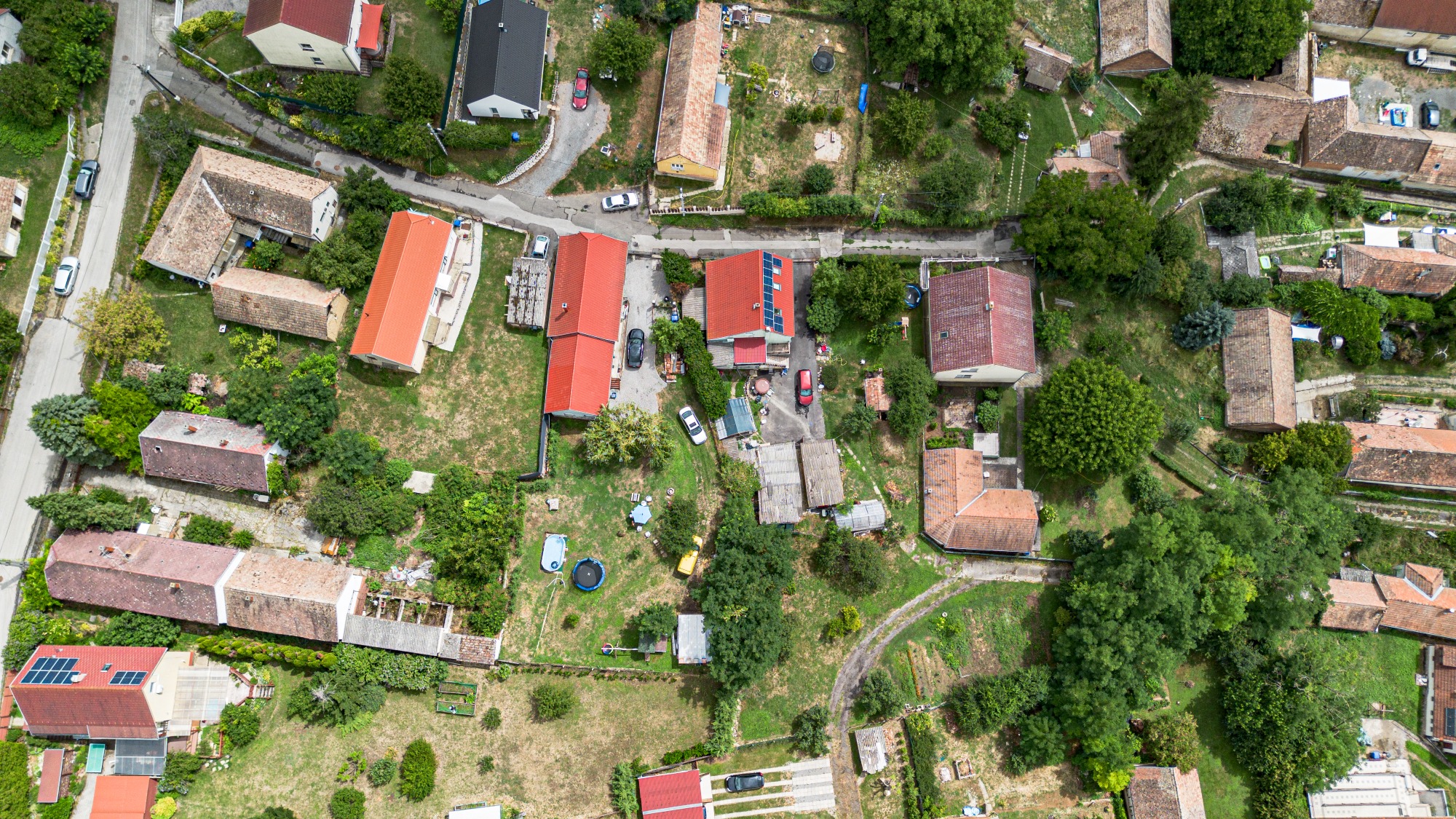
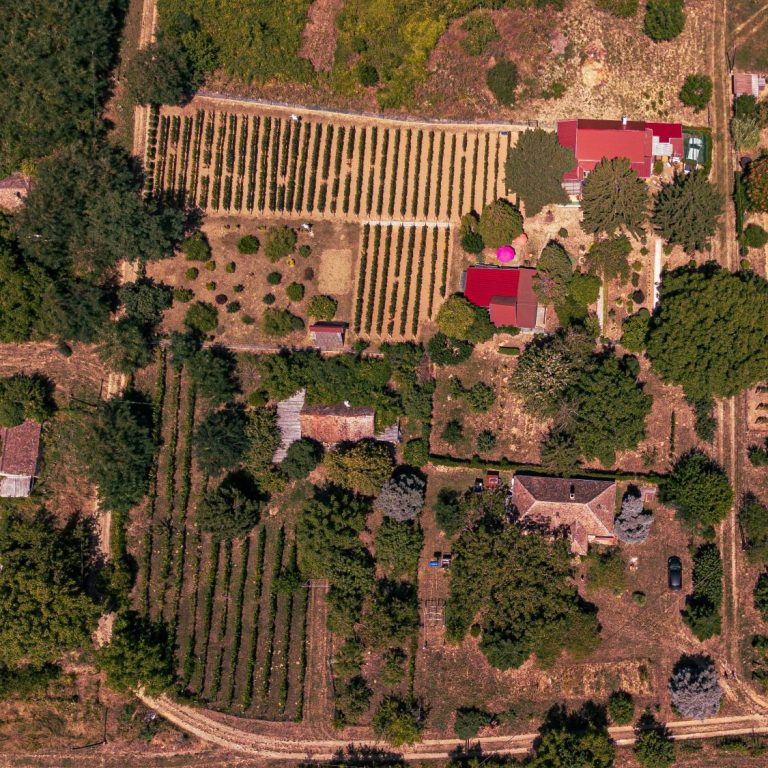
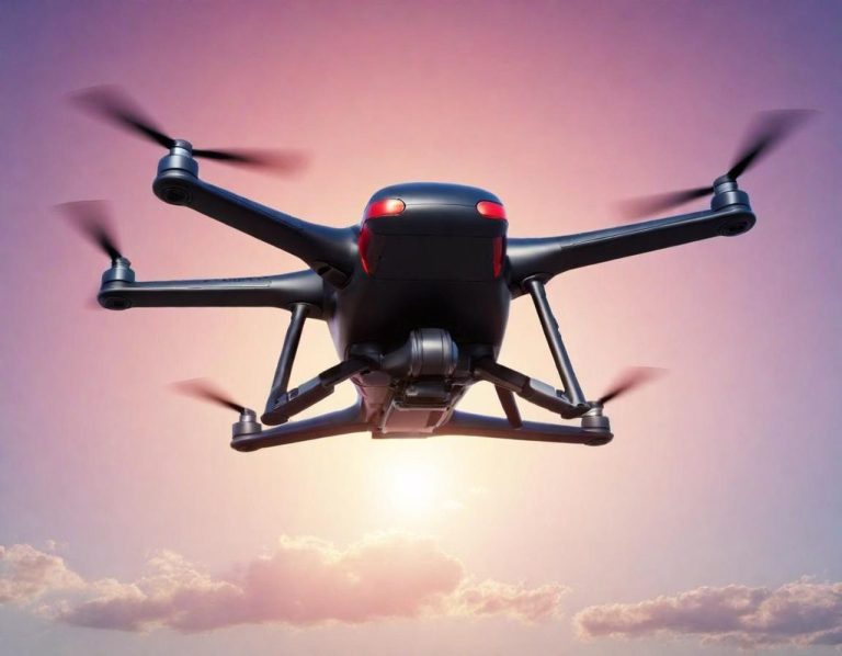
A drone survey refers to the use of a drone, or unmanned aerial vehicle (UAV), to capture aerial data with downward-facing cameras. The use of drones within the survey industry is growing, they provide an efficient, cost effective and much safer way to collect extremely accurate data.
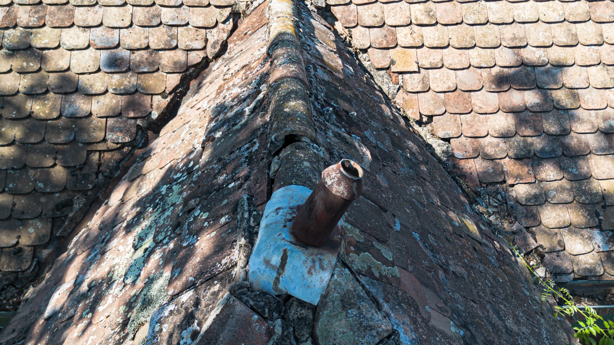
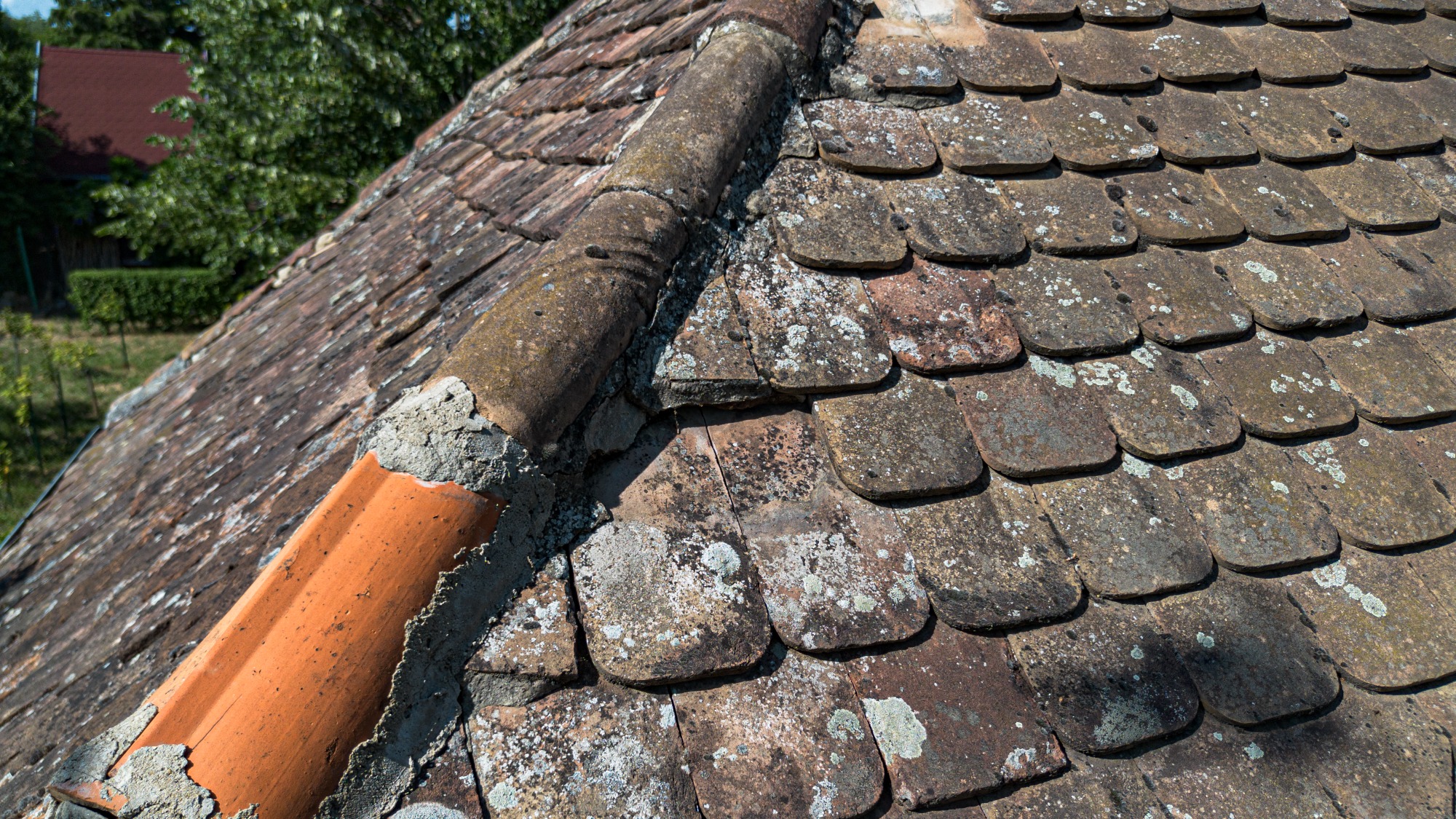
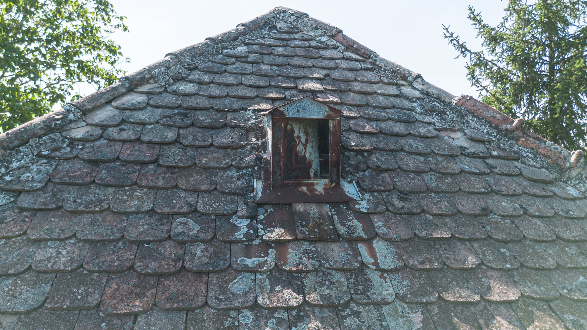
Prior to aerial inspections using UAVs, surveying a roof, chimney or other high structure could be a costly exercise. Now using licensed pilots, drone inspections of structures such as roofs, chimneys, churches, large buildings and high towers no longer require the use of scaffolding or mechanical lifters.
Drones can capture high definition video footage which provide a view from above without the cost of hiring a plane or helicopter. Surveys carried out in this manner are also more affordable, quicker and pose fewer health and safety risks than setting up scaffolding and access platforms. They also are now established as a viable approach to transmission tower and powerline surveying. By eliminating manual ‘at-height’ working, they greatly reduce risk and improve safety outcomes.
Capturing topographic data with a drone is up to five times faster than with land-based methods and requires less manpower.
Trained and certified UAV pilots will undertake an initial assessment, obtain the required aviation permissions, and conduct the flight in accordance with the Civil Aviation Authority regulations, ensuring that the project is undertaken in a safely and legally.
Drone survey include:
- Damage assessment
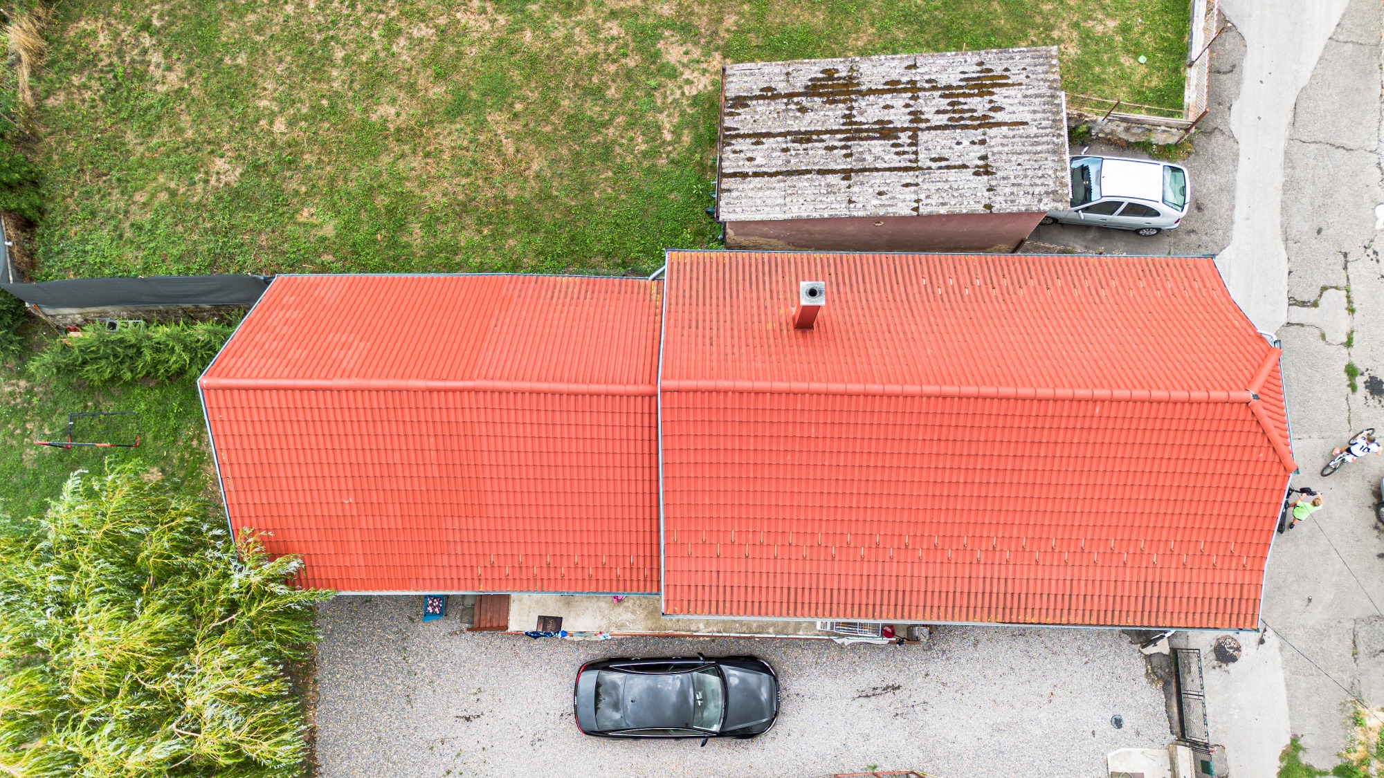
- Quality check on a new roof
- Land Blueprint photos
- Land planning/sectioning